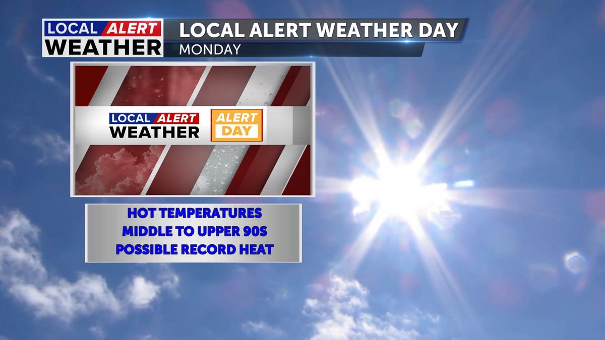
Hot pattern arrives this weekend, Local Alert Weather Day on Monday
We have issued a Yellow Local Alert Weather Day for Monday as the mercury in the Thermometer will reach the middle to upper 90s in Central Oregon. The 90-degree day comes early in the season when our normal high should be around 72 degrees. This day also comes on the heels of two 90-degree days (Saturday and Sunday), making this heat wave more impactful.
The dry and hot days prior to Monday are setting the stage for another potential issue, fire danger. The heat and dry pattern this weekend will allow for quick ignition of a fire and rapid spread.
If this were the middle of August our Alert Day would not have been issued, but since we are only in the month of June, we wanted to get out ahead of this late Spring heat wave.
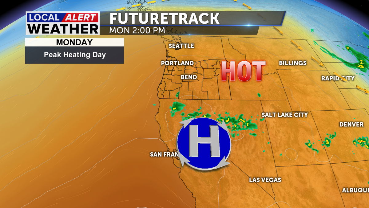
Today we are going to get to the low 90s under mostly sunny skies; Sunday will be a couple of degrees warmer, topping out around 93. The persistence of the heat will allow the mercury in the thermometer to rise to the middle to the upper 90s on Monday. This ridge of high pressure is currently off the coast, but by Monday will be south of the region. This location will be just right to grab the hot air on the west side of the ridge and move it to Central Oregon.
There are heat related alerts issued for portions of Oregon starting Sunday, so although as of the writing of this, our Tri-Counties are not under any advisories or warnings for heat, there are some in the state.
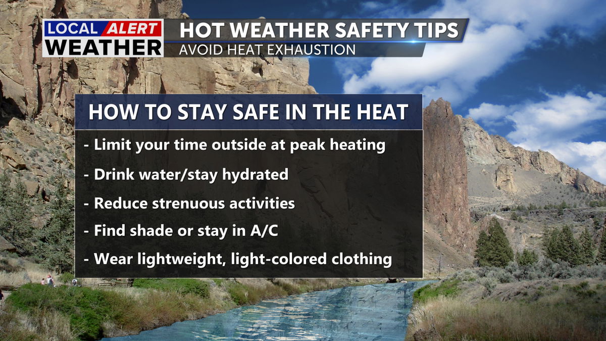
Here are some tips to keep you safe in the heat this weekend and beyond.
Just a reminder, the Yellow Alert Day is level one and is not as intense as the Red Alert Day. If we were expected to hit the low 100s, a Red Day would be issued.

Please stay safe.
Don’t forget to download the KTVZ weather app to stay safe and informed.
iOS: https://apps.apple.com/us/app/ktvz-local-alert-weather-app/id1088330817
Android: https://play.google.com/store/apps/details?id=com.ktvz.android.weather&hl=en_US